Today was a peak experience for the Northern Transcontinental PACTour:

The Bighorn Mountains undersell themselves from the west. Looking toward them from our starting point 35 miles away the low brown bump appeared insignificant. When you get closer they look like a dry range of hills. Its only when you start to climb them that the scale hits home. And getting to the top is like transporting yourself into a different universe where dry sagebrush prairies are transformed into lush grasslands and forests resembling nothing so much the California coastal range overlooking the Pacific Ocean. Today's post is picture heavy because there are just so many stunning vistas to share.
We started the day early since the climb will be slow miles. The stage is 120 miles, but is bracketed by 35 miles of very easy road at the start and 20 miles of mostly easy miles at the end.
Typical breakfast scene for a start at dawn:

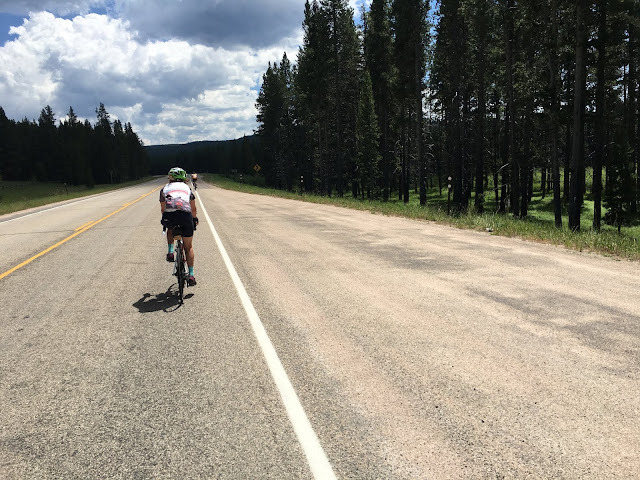
A few minutes later Paul heads east out of Powell, Wyoming sporting the Blue Ridge Bike Club kit (we both wore it today to represent the club on the biggest climb of the tour). Bighorn Mountains lurk on the horizon:

For the last 20 miles of the approach I jumped onto the express train of Jon, Gisselle and Steven. The range gets closer at a rate in excess of 23 MPH.

US Highway 14A takes 8.5 miles at 3-4%, most of it dead straight, to ramp up to where the more serious hill climbing starts. After 2.5 miles at a reasonable 7% the road tilts to 10-11% for most of the remaining 16 miles. From start to end the climb is 6000', most elevation gain I've ever done in a single ascent.
The view while going up the ramp looked like the picture below for what seemed to be a very long time, south into the full sun. Progress was hard to discern but luckily I had those two "rabbits" in front of me to supply motivation:

Finally the road decides to bend toward the escarpment.

A new direction, but not much else changed:

A bit further up that straightaway, its clear we are dealing with mountains.

If you pause this movie about 2 seconds in, you can see where the road traverses the hill much higher up rising from right to left. Look for the big concrete retaining walls on the mountainside.

Looking back down the road:

After a zig-zag across the face of the escarpment, the road bends into a canyon:

The canyon walls provided the first shade of the day. The parts of the climb where you could get out of the sun or catch a breeze, or better yet both at the same time, were probably the most refreshing experiences I'll have this year.

After entering the canyon you can see the road way up there (road cut is in center just below blue sky climbing from left to right), so you know you have a lot more work to do at a 10% grade:

The view back down from that road cut:

The mountains are getting greener and the rocks more solid:


Braking is a serious challenge for down-bound trucks. There weren't very many of them.

Now I'm the "rabbit" for some other riders:

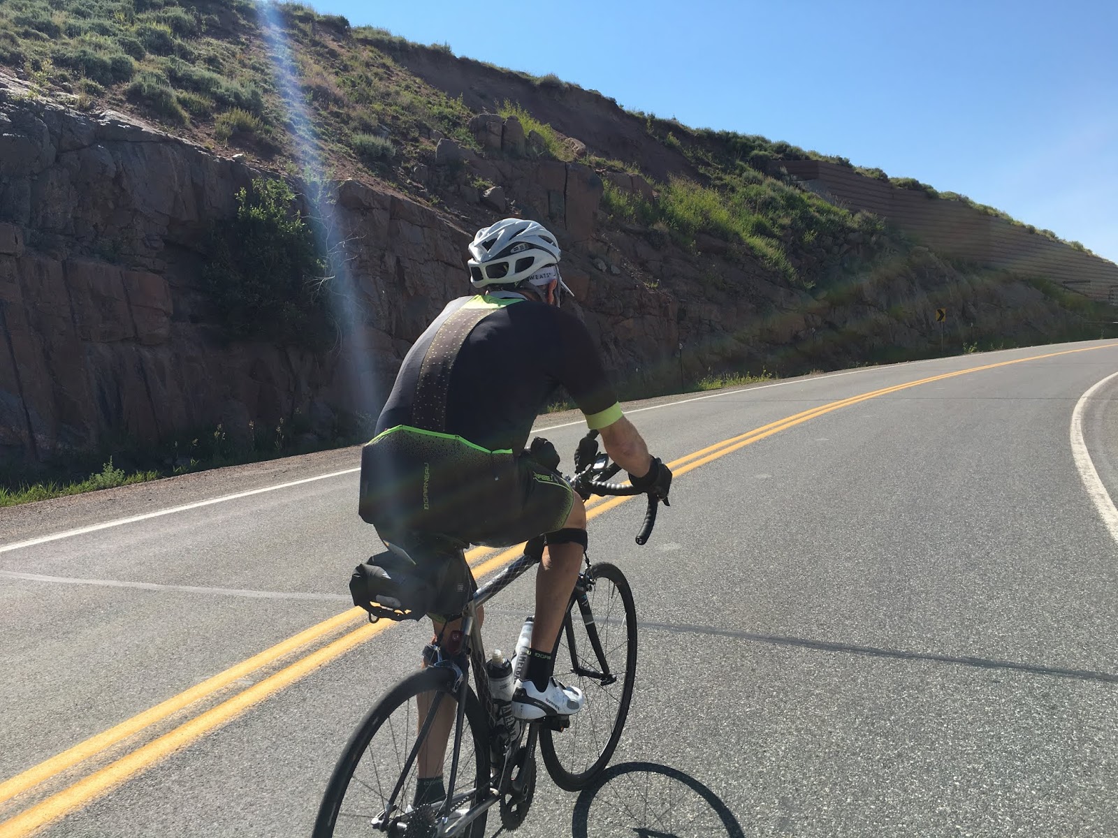
Rabbit caught and passed by PACTour crew member John S, who impresses as he pushes a bike geared for flat lands up the grade:

The vistas just keep getting bigger and bigger


Arnie catches me at the first top and jams it over:

After the first top we have a rest stop and savor the view with our chilled watermelon:


But that's not all! Still another 2000 feet of elevation, much of it at 10% grade. But now you feel like you are riding in the mountains.

More cool colored granite:


Hunting for the top...

End of the steep part, but still not at the maximum

Most of the land atop the Bighorns is National Forest, and is leased for free-range grazing. Here a cow protects her calf by standing in the middle of the road. I got to play cowboy on my bike, herding the both of them off the road.

There is still snow up there, somebody said there are year-round snowpacks AKA glaciers on a small scale.

Wild flowers abound


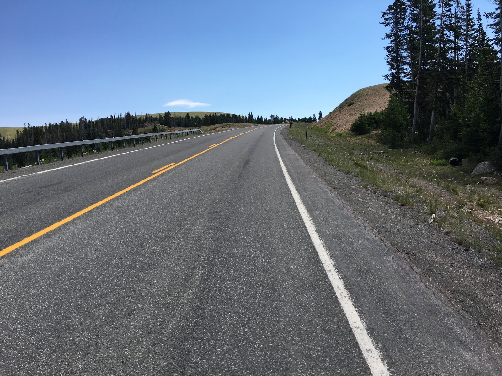
Its downhill for five miles after the peak then it levels off, still at elevations greater than 8000 feet. Lots of beautiful miles to ride on the high plateau that is the Bighorns:


Before you drop back down into the real world of Wyoming, such as it is, you've got to get over one more hump, Cutler Hill

Now looking off the eastern escarpment.


And down the hill we go!


The little hamlet of Dayton is at the bottom of the hill. Subtracting this elevation from a few pictures up shows ~4500 foot descent over 12 miles.


The Bighorn Mountains undersell themselves from the west. Looking toward them from our starting point 35 miles away the low brown bump appeared insignificant. When you get closer they look like a dry range of hills. Its only when you start to climb them that the scale hits home. And getting to the top is like transporting yourself into a different universe where dry sagebrush prairies are transformed into lush grasslands and forests resembling nothing so much the California coastal range overlooking the Pacific Ocean. Today's post is picture heavy because there are just so many stunning vistas to share.
We started the day early since the climb will be slow miles. The stage is 120 miles, but is bracketed by 35 miles of very easy road at the start and 20 miles of mostly easy miles at the end.
Typical breakfast scene for a start at dawn:

A few minutes later Paul heads east out of Powell, Wyoming sporting the Blue Ridge Bike Club kit (we both wore it today to represent the club on the biggest climb of the tour). Bighorn Mountains lurk on the horizon:

For the last 20 miles of the approach I jumped onto the express train of Jon, Gisselle and Steven. The range gets closer at a rate in excess of 23 MPH.

US Highway 14A takes 8.5 miles at 3-4%, most of it dead straight, to ramp up to where the more serious hill climbing starts. After 2.5 miles at a reasonable 7% the road tilts to 10-11% for most of the remaining 16 miles. From start to end the climb is 6000', most elevation gain I've ever done in a single ascent.
The view while going up the ramp looked like the picture below for what seemed to be a very long time, south into the full sun. Progress was hard to discern but luckily I had those two "rabbits" in front of me to supply motivation:


A new direction, but not much else changed:

A bit further up that straightaway, its clear we are dealing with mountains.

If you pause this movie about 2 seconds in, you can see where the road traverses the hill much higher up rising from right to left. Look for the big concrete retaining walls on the mountainside.
This one is looking west where we came from when I reached the first of those retaining walls.

Looking back down the road:

After a zig-zag across the face of the escarpment, the road bends into a canyon:

The canyon walls provided the first shade of the day. The parts of the climb where you could get out of the sun or catch a breeze, or better yet both at the same time, were probably the most refreshing experiences I'll have this year.

After entering the canyon you can see the road way up there (road cut is in center just below blue sky climbing from left to right), so you know you have a lot more work to do at a 10% grade:


The mountains are getting greener and the rocks more solid:


Braking is a serious challenge for down-bound trucks. There weren't very many of them.


Rabbit caught and passed by PACTour crew member John S, who impresses as he pushes a bike geared for flat lands up the grade:


But that's not all! Still another 2000 feet of elevation, much of it at 10% grade. But now you feel like you are riding in the mountains.


Hunting for the top...
End of the steep part, but still not at the maximum

Most of the land atop the Bighorns is National Forest, and is leased for free-range grazing. Here a cow protects her calf by standing in the middle of the road. I got to play cowboy on my bike, herding the both of them off the road.

There is still snow up there, somebody said there are year-round snowpacks AKA glaciers on a small scale.


Finally the maximum is reached, see picture at top. I'd like to give a plug to the Essential Journeys "Lube for the Lips" which I used all day and certainly helped make trip to the top more comfortable for my chapped flappers.

Its downhill for five miles after the peak then it levels off, still at elevations greater than 8000 feet. Lots of beautiful miles to ride on the high plateau that is the Bighorns:


Before you drop back down into the real world of Wyoming, such as it is, you've got to get over one more hump, Cutler Hill

Now looking off the eastern escarpment.


And down the hill we go!


The little hamlet of Dayton is at the bottom of the hill. Subtracting this elevation from a few pictures up shows ~4500 foot descent over 12 miles.

Really nice narrative about the transition. It’s easy to imagine how good this day must have felt - the climbing, the cooler temps, the majestic scenery - joy!
ReplyDelete